Data - Space

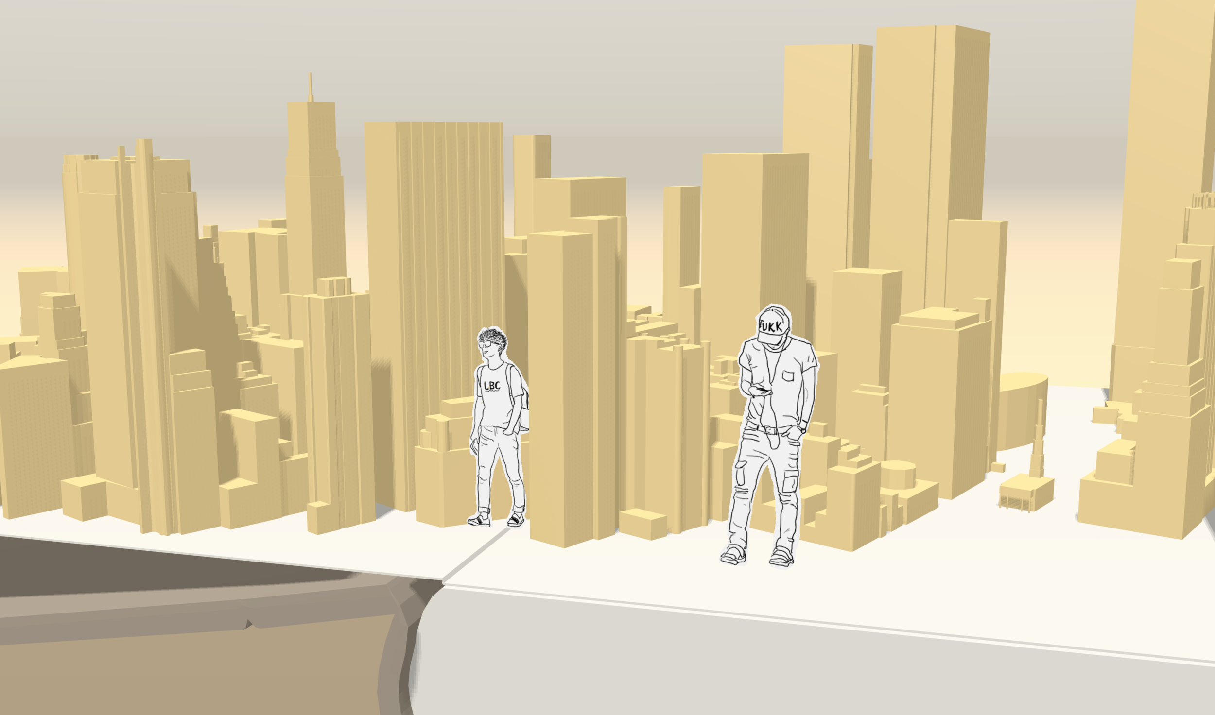
In this project, I want to try to play with 3D spacial public data. The idea is to create an interactive 3D city book where people can navigate around. Each page shows a different city. Multiple people can show up in the city with sketching avatars I drew from real residents there.
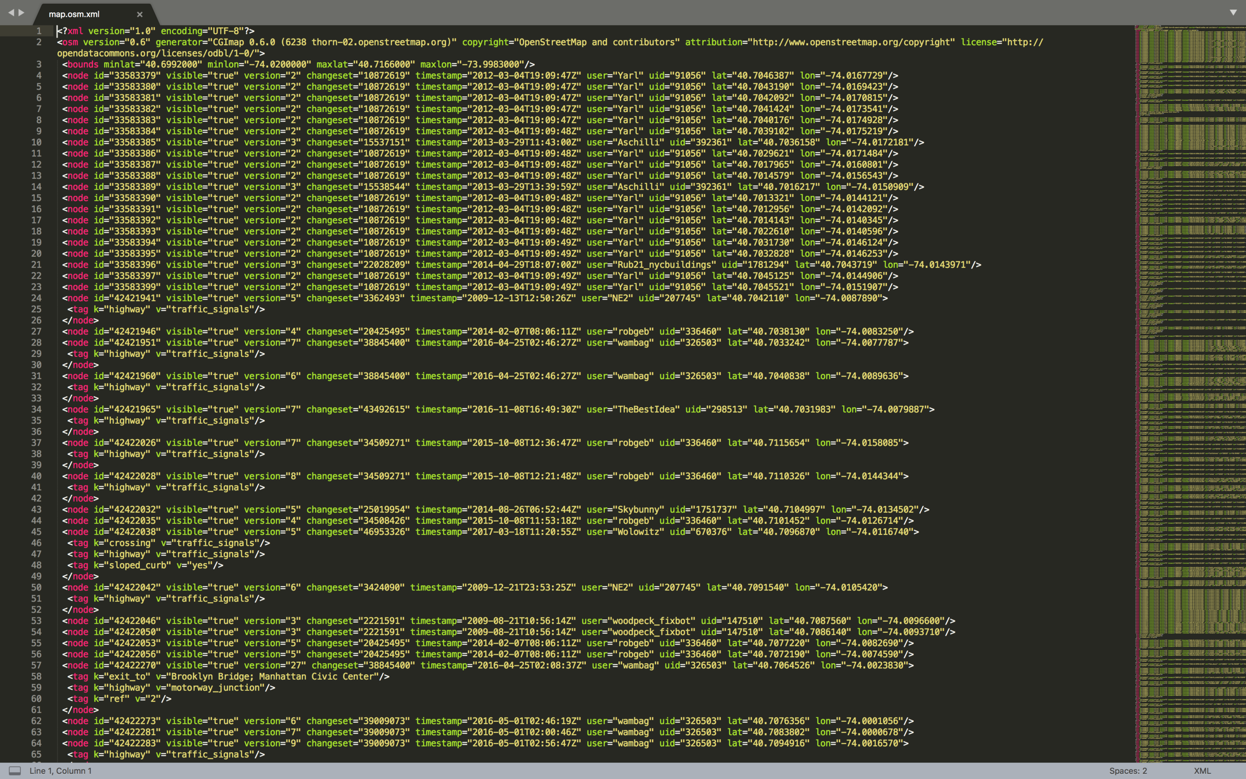
First, I used OpenStreetMap to export Lower Manhattan spacial data as xml format. Then, I used OSM2World to output obj 3d file from the data and clean the model up in Maya.


Second, I collected my daily drawings of people as my own avatar dataset and load them on planes with three.js.


Demo
By clicking the mouse, you can add your own avatar inside the city. By using the arrows key on keyboard, you can navigate around.